This website does not constitute an offer to sell, a solicitation of an offer to buy, or a recommendation of any security or any other product or service by MergersUS Inc. or any other third party regardless of whether such security, product or service is referenced in this website. Furthermore, nothing in this website is intended to provide tax, legal, or investment advice and nothing in this website should be construed as a recommendation to buy, sell, or hold any investment or security or to engage in any investment strategy or transaction.MergersCorp M&A International franchising program is not offered to individuals or entities located in the United States.
The franchising program is offered by MergersUK Limited a UK Company with registered office at 71-75 Shelton Street, Covent Garden, London, WC2H 9JQ, United Kingdom.
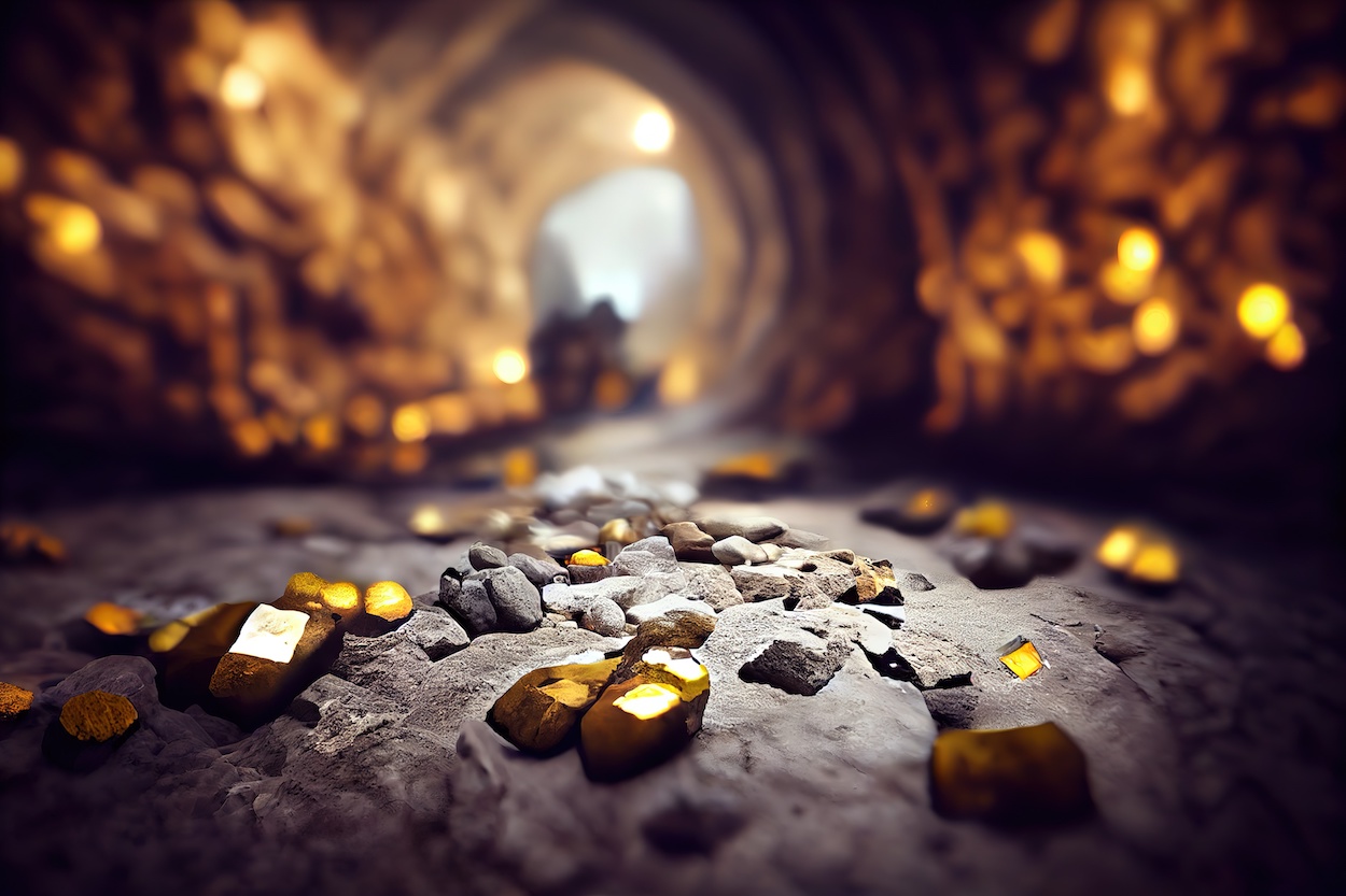
This gold deposit is located on the territory of the Zhaksinsky district of the Akmola region, Kazakhstan. The studied area is the western outskirts of the Kazakh uplands, with absolute elevations ranging from 248 to 423 m and relative elevations of up to 50-70 m. The gold ore occurrence was discovered in 1989 as a result of geological survey work on a 1:50000 scale, conducted jointly by PSE-33 and GRE-37 of the State Enterprise “Stepgeology.”
In 1992-94, GRE-37 conducted pre-claiming and appraisal work at the field ore occurrence. Due to the termination of funding, the volume of drilling appraisal wells amounted to 17.8% of the projected volume. Similarly, around 5000 core samples remained unanalyzed for the same reason.
Keypoints
The gold deposit is situated near the eastern side of the elongated coal trough, oriented in the meridional direction. This geological structure comprises terrigenous, carbonate, and terrigenous-carbonate formations dating back to the Carboniferous period.
The deposit’s area is sandwiched between faults, distinctly marked by zones of intense crushing and brecciation. It also features a series of dikes made up of lamprophyres and porphyrites. An intense hydrothermal process occurred, resulting in the formation of beresite-type metasomatites and the deposition of gold ore mineralization.
Within the field, three hydrothermal-metasomatic formations have been identified:
Propylite (quartz-chlorite-sericite-epidote metasomatites) – representing the subalkaline stage of metasomatism.
Berezitic (berezitized rocks, quartz-sericite metasomatites or berezites) – indicating the acid stage of metasomatism.
Argillisitic (quartz-carbonate-kaolinite metasomatites) – associated with the acid stage of metasomatism.
Description of the ore zone
As a result of prospecting and appraisal work within the deposit, four ore zones were identified and traced along the strike and dip. The length of the latter ranges from 100 to 850 meters, with a width varying from a few meters to 130 meters. The total length of the ore zones in the deposit was 1230 meters.
Within the contours of these zones, a 0.3 g/t gold cut-off grade was identified and included in the calculation of reserves for eight ore bodies.
The discovered ore bodies, ranging from the surface of the basement to depths of 14-18 to 91-97 meters, are subjected to oxidation.
The most common minerals in the weathering crust ores are quartz with chalcedony, and the primary ore mineral in the oxidized ores of the weathering crust is native gold.
The ore bodies exhibit a southeast fall, with average angles of incidence ranging from 60 to 78 degrees.


Description
This gold deposit is located on the territory of the Zhaksinsky district of the Akmola region, Kazakhstan. The studied area is the western outskirts of the Kazakh uplands, with absolute elevations ranging from 248 to 423 m and relative elevations of up to 50-70 m. The gold ore occurrence was discovered in 1989 as a result of geological survey work on a 1:50000 scale, conducted jointly by PSE-33 and GRE-37 of the State Enterprise “Stepgeology.”
In 1992-94, GRE-37 conducted pre-claiming and appraisal work at the field ore occurrence. Due to the termination of funding, the volume of drilling appraisal wells amounted to 17.8% of the projected volume. Similarly, around 5000 core samples remained unanalyzed for the same reason.
Keypoints
Description of the ore zone
Basic Details
Target Price:
TBA
Gross Revenue
TBA
EBITDA
TBA
Business ID:
L#20240587
Country
Kazakhstan
Detail
Similar Businesses
Published on January 8, 2024 at 1:13 pm. Updated on January 8, 2024 at 1:19 pm
Premium Coal Mining Business
TBD
Mining Businesses
Gold Mining Exploration “Ridley Lake”
TBD
Mining Businesses
Gold Mining Exploration Project “Pusterwald”
TBD
Mining Businesses
Gold Mining Project
$16,000,000
Mining Businesses
Deposit of Bauxite and Aluminum
TBD
Mining Businesses
Marble Quarry Business
TBD
Mining Businesses
PREVIOUS PROPERTY
Monaco Monte-Carlo Fashion Brand
NEXT PROPERTY
Construction of High-quality Boats